An isoline map is any map that uses continuous lines to join
points of equal value. If it looks
similar to a contour map, you are 100 percent correct. Isoline maps include contour maps,
isotherms, isobars, isotachs, ect.
This makes isoline maps two-dimensional representations of places. Isoline maps are often used in
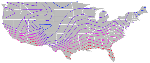
meteorology. The above map is a
isoline map of average temperatures of the United States. As you can see red line signifies the
hottest areas, while blue signifies the coldest areas.
No comments:
Post a Comment
Note: Only a member of this blog may post a comment.