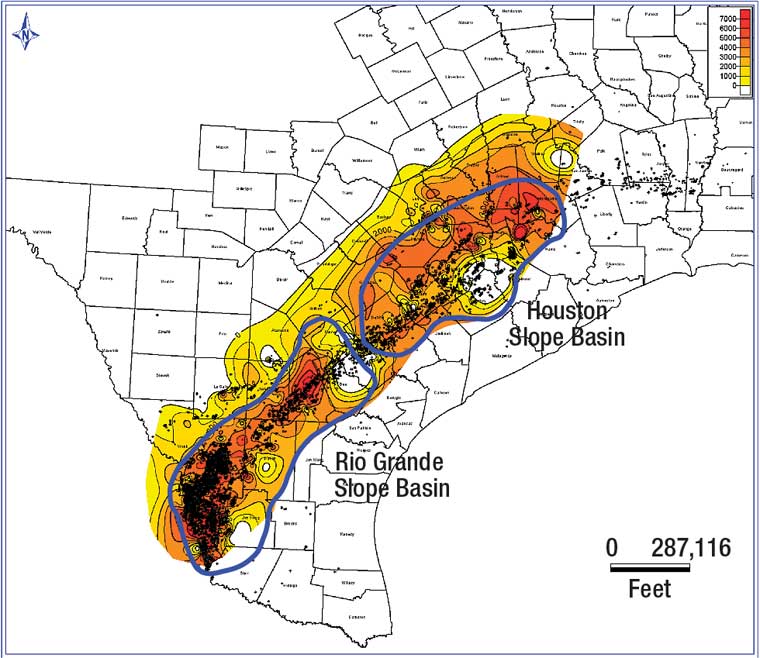
This map is also an isoline map, however it is not depicting
a term found in meteorology, but rather a term found in geology. An isopach map
is a map illustrating variation of thickness within a tabular unit or stratum. This meant nothing to me, and actually
confused me until I learned that these is terms are used in sedimentology and
geology. The above map is an
isopach map of the Houston and Rio Grande slope basins. My God Father works in oil in Houston,
TX so this map reminded me of him.

No comments:
Post a Comment
Note: Only a member of this blog may post a comment.