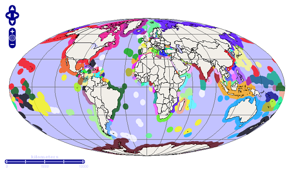
A statistical map is a broad group of maps. As can be inferred by the name,
statistical maps are used to show certain factors and statistical data over an
area. These areas can be broad
like a large country or smaller like a capital city. The above map is a world map of maritime territories, coastal
waters that are not Territorial Waters.

No comments:
Post a Comment
Note: Only a member of this blog may post a comment.